


.png)

.png)
.png)
 to add an item to your Itinerary basket.


Oakamoor to Denstone Greenway
Mill Lane
Oakamoor
Staffordshire
ST10 3AG

About
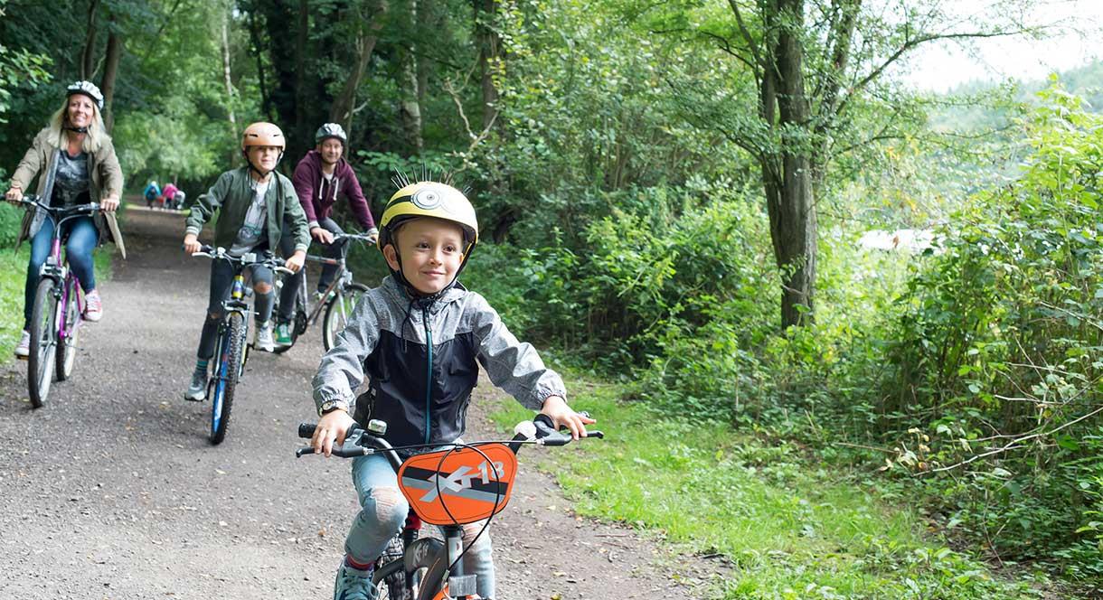
The Oakamoor to Denstone Greenway is a 6 mile long flat, safe, off-road route the majority of which is a redundant railway line and extinct canal. Also known as the Churnet Valley Way, it follows closely to the path of the River Churnet through the attractive wooded Churnet Valley in Staffordshire. Running between the villages of Oakamoor and Denstone via Alton, it connects to the network of footpaths at Dimmingsdale Forest and offers stunning views across the open grass areas. Suitable for all ages and abilities, the trail is a great place for easy walking and cycling, or taking a canter on horseback.
Map & Directions
Road Directions
From Leek take the A520 (Stone Rd) follow this road through the village of Cheddleton and to Wetley Rocks, turning left after the petrol station. Following this road to its end, join the A52 (Cheadle Rd) and follow into Cheadle, once you first enter the town turn left at the mini roundabout (by the Alton Castle Public House) onto the B5417 and follow this country road into Oakamoor.From the A50 at Stoke on Trent take the A521 to Cheadle. In Cheadle take B5417 into Oakamoor and turn left onto Mill Lane.The nearest railway station is Blythe Bridge, which is 0 miles away.
TripAdvisor
Facilities
Accessibility
- Disabled toilets
Catering
- Picnic site
Children
- Baby changing facilities
Parking
- Free Parking
Property Facilities
- Public toilets
Target Markets
- Accepts groups